Collection: All Maps
Maps are a valuable tool for any historical research. Many old maps included the names of residents and landowners. Some town maps include directories of the merchants and other valuable information.
This is a collection of historic maps of Blanchester and surrounding towns and counties. These are collected from various almanacs and history books. Many of these volumes are available online on library sites as downloadable pdfs. These sources will provide you with much larger versions.
Many of these links have been collected on this site in the RESOURCES section.

Collections
-

Blanchester-Marion Township maps
MARION TOWNSHIP "Marion township occupies the southwestern corner of Clinton county and...
-

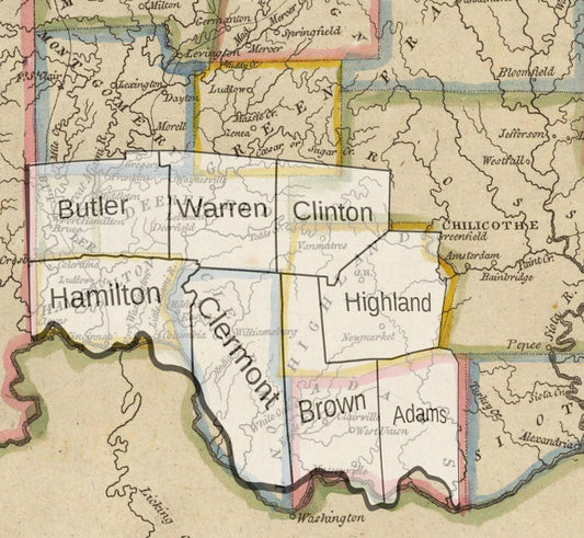
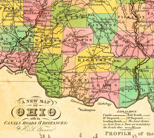
Clermont County Maps
"At its ordinance in 1800 by the Commonwealth of Virginia to reward Virginian military...
-

Jefferson Township-Clinton County Maps
"Jefferson township was organized in the year 1839 from the territory taken...
-

Sanborn Fire Insurance Maps
The Sanborn Maps are large scale street plans produced by the Sanborn...