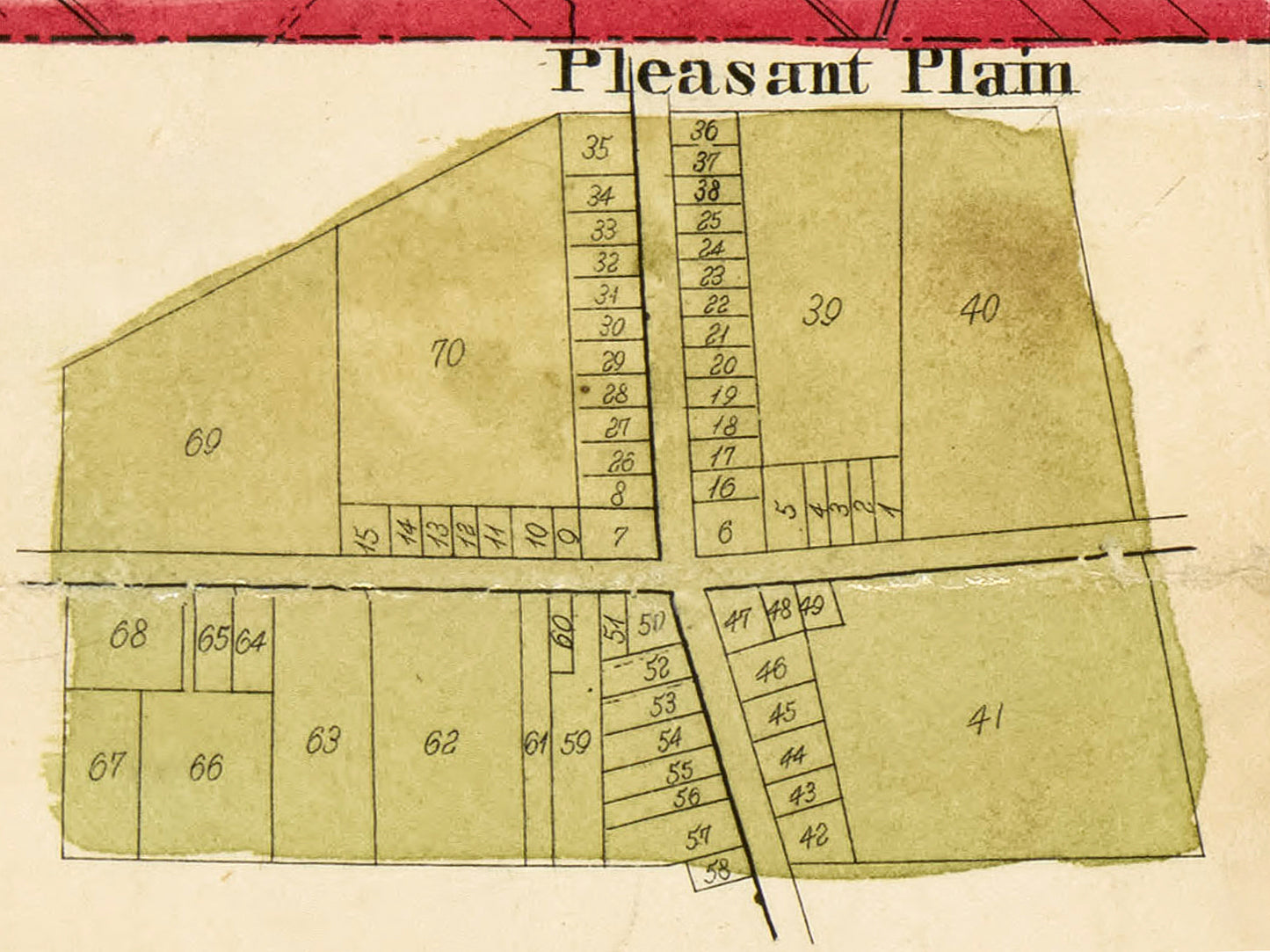
1875.New Columbia later to be known as Pleasant Plain. It's interesting that this map lists the town as "New Columbia" when the town was officially changed to "Pleasant Plain" in 1860. The second image on this page is from 1856 and it was already labeled "Pleasant Plain".
"Pleasant Plain was laid out by Samuel Craig, November 13, 1852, and was originally named by him New Columbia. The name was changed to Pleasant Plain by an act of the Legislature about 1860. An addition was made by him October 2, 1854. January 23, 1872, Thomas llaid out an addition of eleven lots on the east side of the village, and on December 5, 1873, Ira Dudley, Esq., added seven lots on the south.
This village is on the Marietta & Cincinnati R. R., and is the principal station on that road in the township. Pleasant Plain has two churches, a hotel by J. M. Fox,a general store, by Peter C. Spurling, Esq., and a drug store and grain warehouse. This is the chief shipping point in the township. The only steam flouring mill in Harlan Township, erected by W. H. Greeley, Esq., about 1861, and now operated by Mr. Stewart, is located here."
Source: History of Warren County, Ohio. 1882. W.H. Beers & Co., Chicago